Follow my steps through Maryland’s Wildlife Management Areas
Words, pictures and a Google Map are great resources, but to jump to the next level of information, I will be embedding recorded “My Tracks” sessions into wildlife area pages whenever possible.
My Tracks is a Google product available through an application on Android phones that enables users to record GPS tracks and view live statistics – such as time, speed, distance, and elevation – while hiking, biking, running or participating in other outdoor activities. Once recorded, tracks can be shared, uploaded to Google Spreadsheets and visualized on Google My Maps.
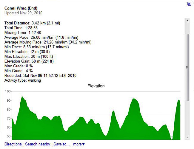
All tracks shared on mdwildlife.com will be in map format. Clicking on a beginning point or end point of any track, will provide more detail on that particular trail. The screen shot below displays what information may typically be available through My Tracks.
My Tracks trail information is available on the following location pages:
Canal Wildlife Management Area
Dan’s Mountain Wildlife Management Area
Deal Island Wildlife Management Area
Elk Forest Wildlife Management Area
Idylwild Wildlife Management Area
Sideling Hill Wildlife Management Area
Warrior Mountain Wildlife Management Area


