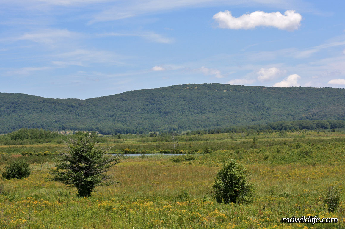
Canaan Valley National Wildlife Refuge is part of the expansive Canaan Valley State Park located in northern West Virginia, along Maryland’s western border. The refuge has beautiful scenery, trails, paths and parking areas. It’s a fantastic location for shooting wildlife that I can’t wait to go back to.
The refuge is a few miles from a major interstate, located off State Route 93. Route 93 is accessible by way of State Route 42, which you can connect to from Route 28 to the south, or Route 50 – George Washington Highway – from the north. If you come in from the southeast and Route 28, Route 42 can be one of the most entertaining short stretches of road you will ever drive. The route has a two-miel stretch just before it connects to 93 that is a snaking vertical climb up the side of a hill with consecutive twists and turns. The road also has a few pull off areas and provides fantastic views of the surrounding landscape. A long wind farm rises along the top of the cliffs; it’s really a very picturesque site.
Once up the winding hill, you’ll connect with 93 and then it’s a bit of a ride into Canaan Valley. Route 93 will hit a T-junction at Route 32, where you’ll turn left to head through the town of Davis. Davis is a small, touristy town that features shops geared toward campers, bikers and the outdoorsy types. The ride through Davis will lead you right to the turn off for the wildlife refuge at Camp 70 Road.
Canaan National Park stretches a long way to the south and maps are available online at the U.S. Fish and Wildlife site, but the turn off for the wildlife area is marked and the road is easy to follow. Camp 70 Road will take you back East along the Maryland border.
The entrance to Camp 70 Road is a small bridge, and after crossing, you’ll be set on a gravely road lined by tall grass, wildflowers and bushes. Every once in a while there are turn offs, parking areas with maps, and other locations to stop. I really recommend having a copy of the map from the USFW website handy as it marks trails and parking areas. Using that map in conjunction with my Google maps phone app, worked well. There are several turnoff spots marked for camping and some are more convenient for parking than others. A 4-wheel drive or all-terrain vehicle is not required.
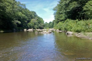
Roughly two miles or so into the drive, there will be a few larger parking areas to the right that bank you on the side of the water. Once of these spots, in particular, was amazing. I parked my car, strolled down to the water and found several table sized rocks arranged in the stream. I could walk out on the rocks, lie down in the middle of the water and look back toward the mouth of the valley. I must have stayed there for a good 40 minutes; saw several species of large bird fly overhead, tracked the Cedar Waxwings and other songbirds in the trees to my left and right, spotted a few fish and water bugs – it was an amazingly relaxing spot and provided some great wildlife photo opportunities.
Moving along the road there was another outlet or two that led to the water, but none was as beautiful or accommodating. The last two parking spots, as I recall, were inundated with flies. That’s a good lesson to learn for Maryland wildlife pursuers, however, and you’ll see me mention it on my other write-ups: In late July and August, expect heavy populations of biting flies, in most any outdoor scenario.
The gravel road eventually hits a fork, with no clear parking area marked. The road splits at this point and recommends only bike and foot traffic. From here, I advise parking your car back at the nearest area and taking the trail to the left.
The left path will take you, maybe, a half mile or so, along a dirt and grass path until a clearing presents itself with an information board and openings to three trails of varying distance. One path is recommended for bikers.
I took the path straight ahead. It was about a 3-mile roundtrip into an open wilderness. With Camp 70 Road to your back, a mountain range rises up to your left and front. The path features rocks and bushes and at least one pond I can remember. It gets very hot in the summer and there is no shade available, so be well prepared with headgear or sunscreen if you decide to take the walk.
There are several marshes out beyond the path that you can view and acres of green out toward the distant mountains. It’s really amazing how large the area appears to be.
In terms of wildlife, during my one trip in late July I saw several species of songird, a turkey vulture, snakes, frogs, chipmunks, crayfish, numerous species of butterfly, dragonflies and other insects. It’s easy to spend more than a day in the area and I highly recommend it for photographers, hikers and cyclists.


I see you share interesting things here, you can earn some extra money, your website has huge potential, for the monetizing method,
just type in google – K2 advices how to monetize a website