Dan’s Mountain is in a beautiful spot accessible off Route 220 just south of Cumberland. If you travel down 220 south there will be a small sign for Dan’s Mountain WMA outside a dirt road entrance just past the correctional facility, but that road may be blocked to vehicle traffic and there is no place to park, so that’s not a great option. A larger entrance, with a clearly marked sign for the area, appears further down 220.
The turn off is Middle Ridge Road and it will take you past some farmland before another sign for the WMA directs off to the left where there is a small parking area outside a blocked off gravel road.
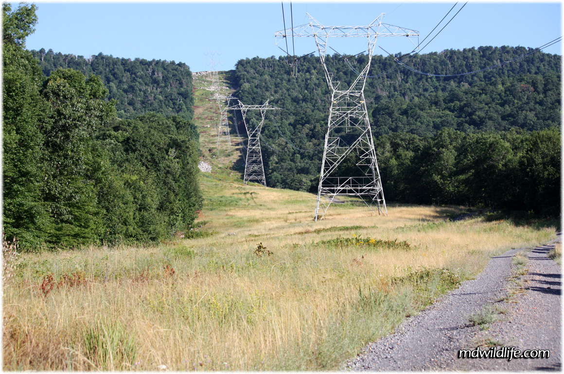
This is where Dan’s Mountain gets a little frustrating. The gravel road is blocked off, so the journey must be accepted on foot and the walk to reach the entrance to the actual wooded WMA is close to two miles. The path splits once or twice and it’s easy to follow. If you like power lines and high towers this walk is for you. High towers carry cables directly up the face of the mountain and you can hear the constant buzzing of currents and conductive wiring as you walk along.
The path is wide open and the sun can be intense in the summer. There is a great possibility for butterfly and insect life as the walkway is lined with flower plants and tall weeds. Taller trees parallel the path and may harbor some song birds and larger species like hawks or turkey vultures, but the trees are so far removed from the path, you would need a good zoom to get there – and the brush along the walkway is like St. Andrews in the spring, so there isn’t much sense in plodding through.
There is a great view of central Maryland and West Virginia landscapes to your back as you make the trek, but the hanging power lines will interrupt any nice panorama you may attempt.
The entrance to the WMA path is marked by a sign and the area is a little more wooded and enclosed. The path curves to the right sharply and takes you gradually uphill as you begin to scale the mountain.
Expect passing birds, plenty of insect life and small mammals or rodents crossing the path as you make your way. The full path up the mountain from this point is probably about three or four miles according to the map, unfortunately I wasn’t able to do the whole hike as I was pressed for time.
Overall I took in a nice variety of species and the scenery was exceptional. I could have done with a little less intro walking before the actual WMA, but I will definitely get back there soon to do the whole mountain.
My Tracks for Dan’s Mountain
Dan’s Mountain entrance
View Dans Mountain in a larger map
Dan’s Mountain WMA trail
View Dans Mountain Nov in a larger map
Google Map Location
External Resources
Dan’s Mountain on the Maryland DNR site
Dan’s Mountain link from the old DNR site
Dan’s Mountain on some mountain travel guide site with almost no info
Dan’s Mountain on the Potomac River Guide website
According to Wikipedia, Dan’s Mountain is named for some lousy explorer who fell asleep


